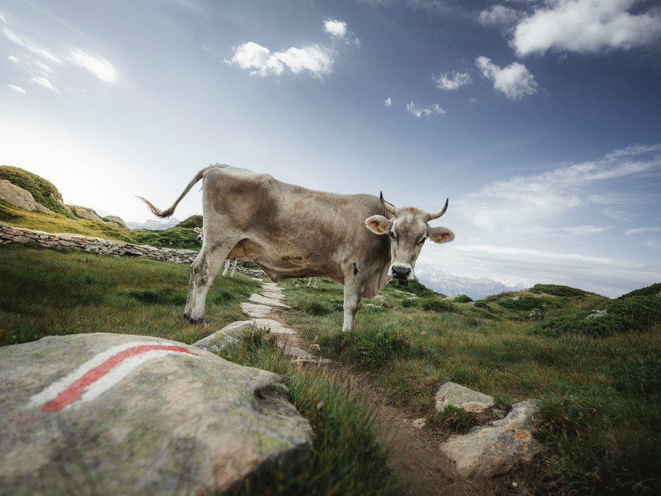
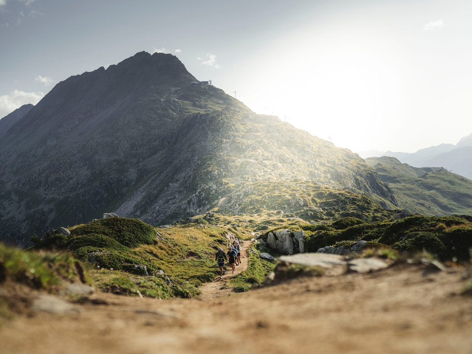
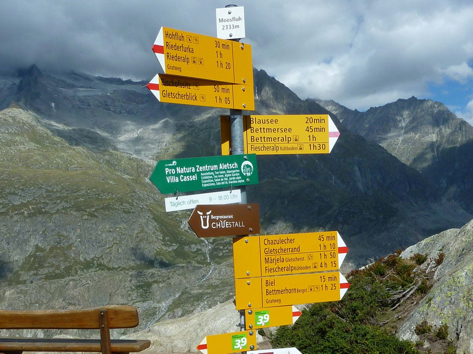
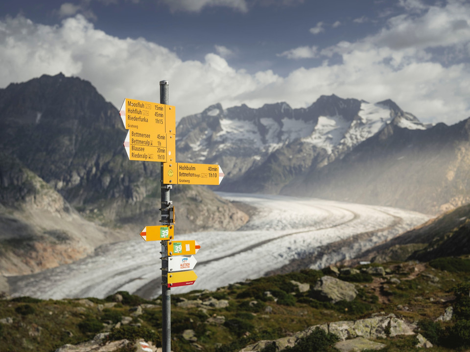
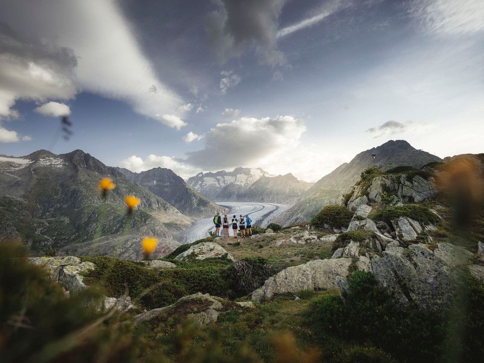
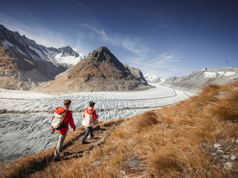
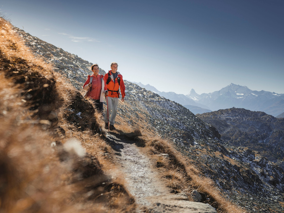
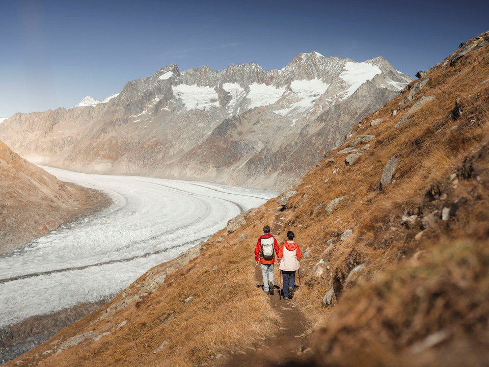
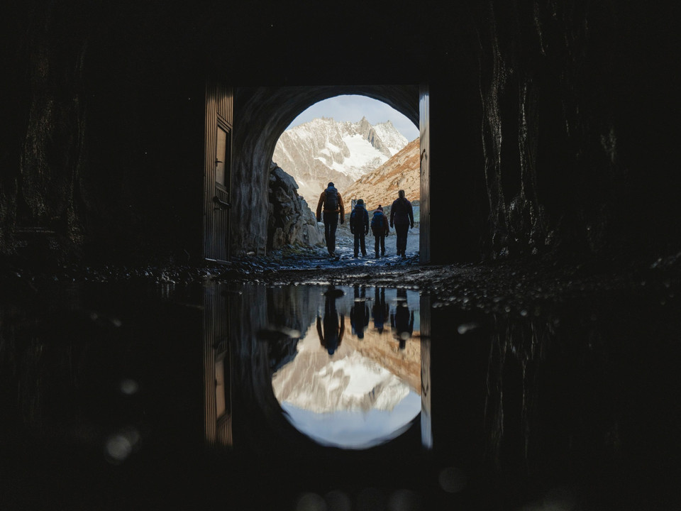
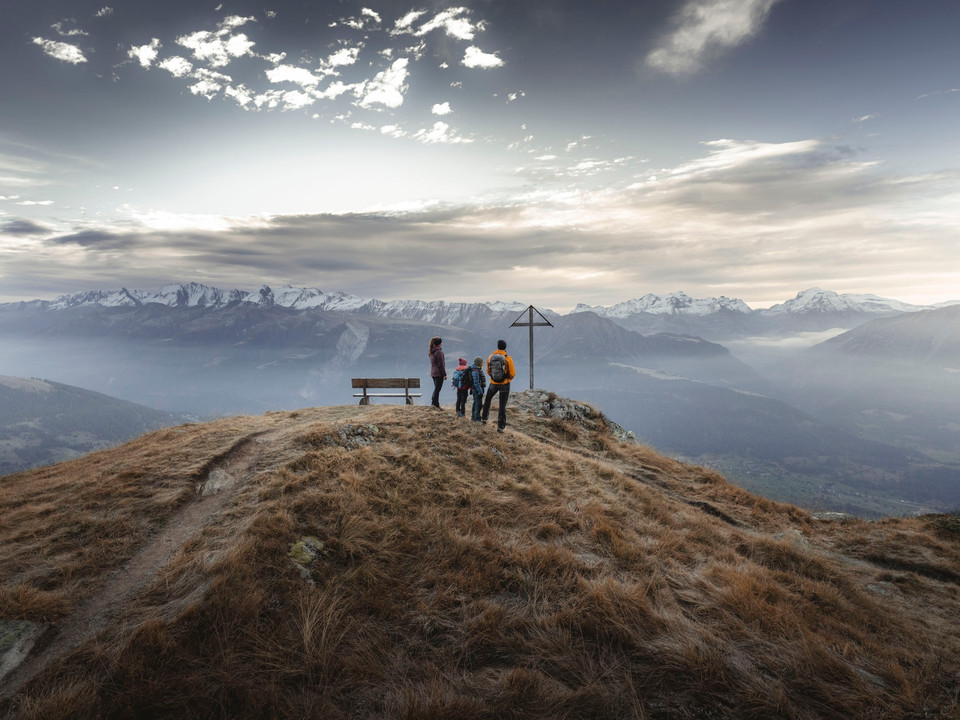
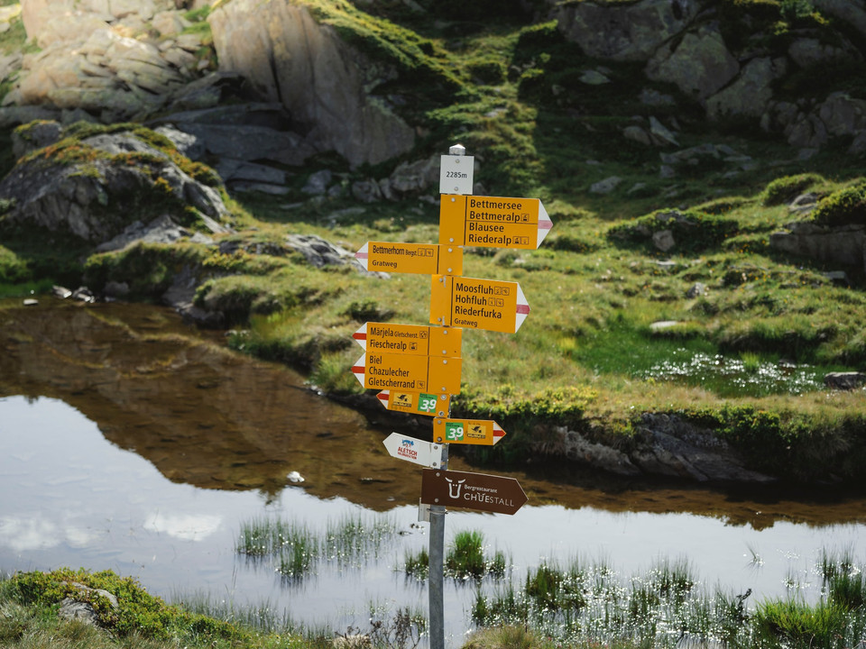
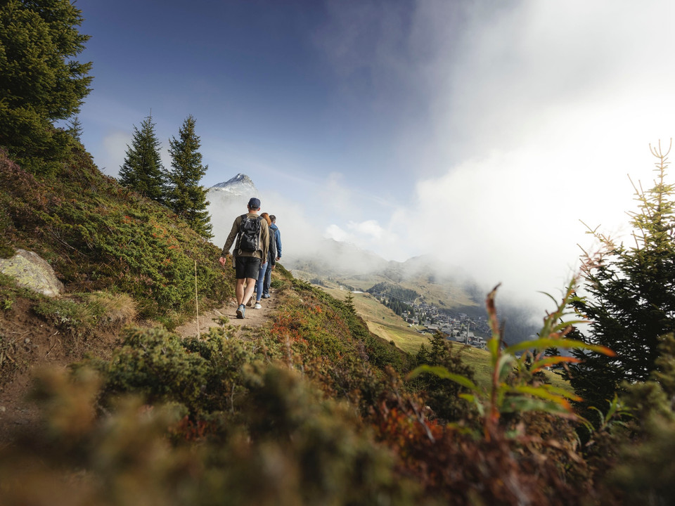
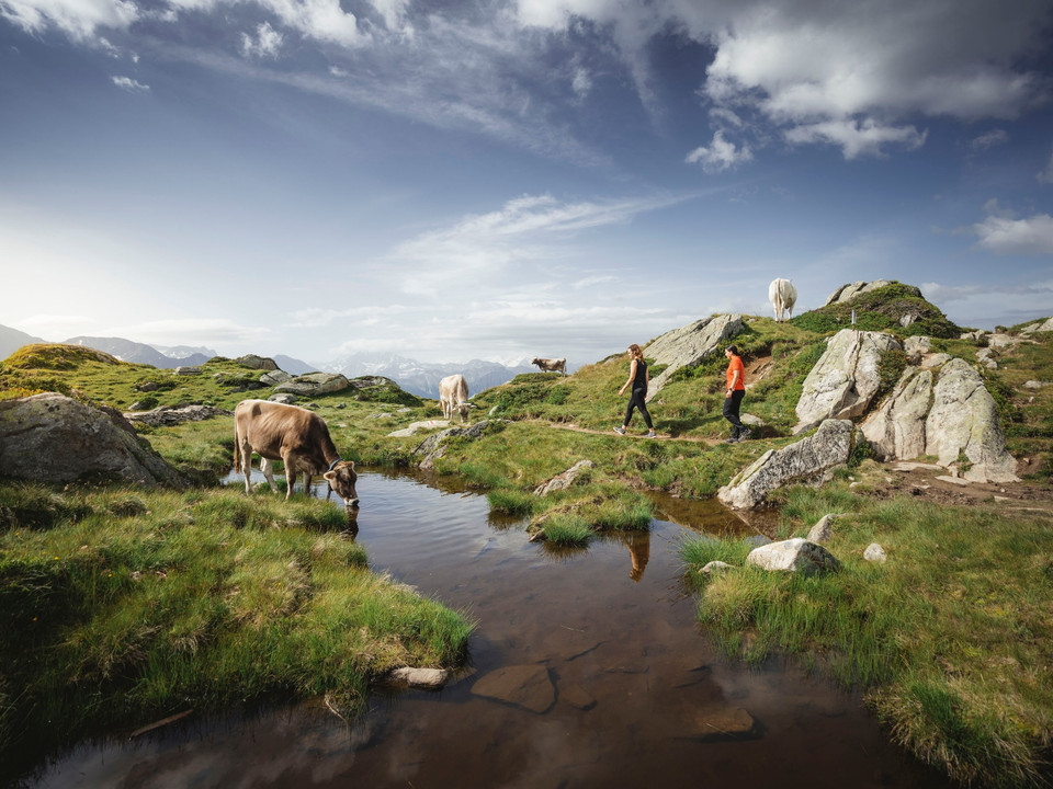
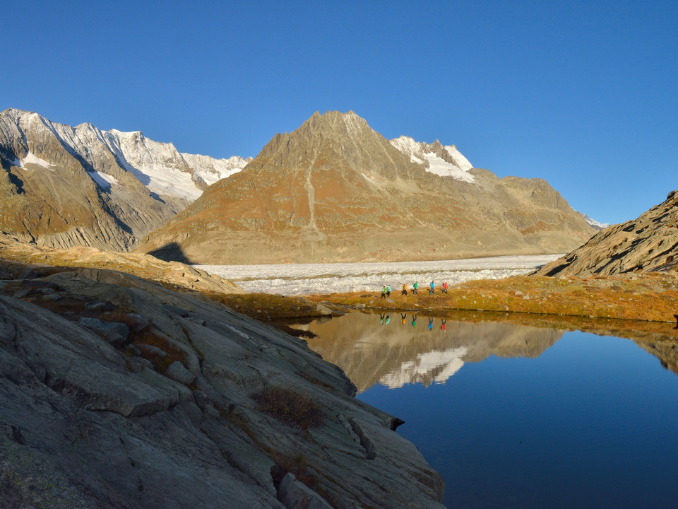
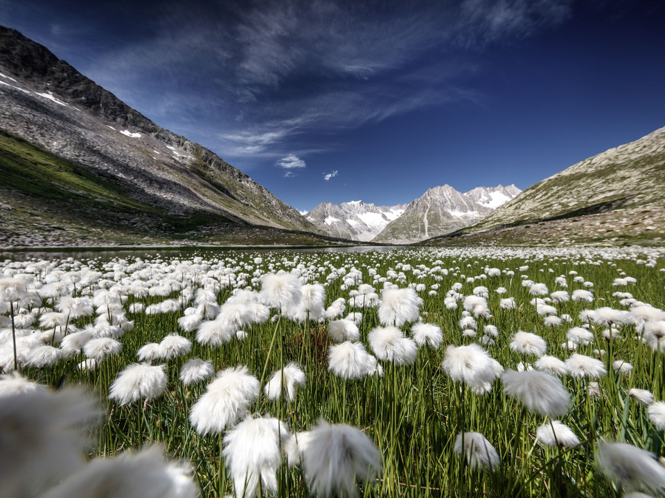
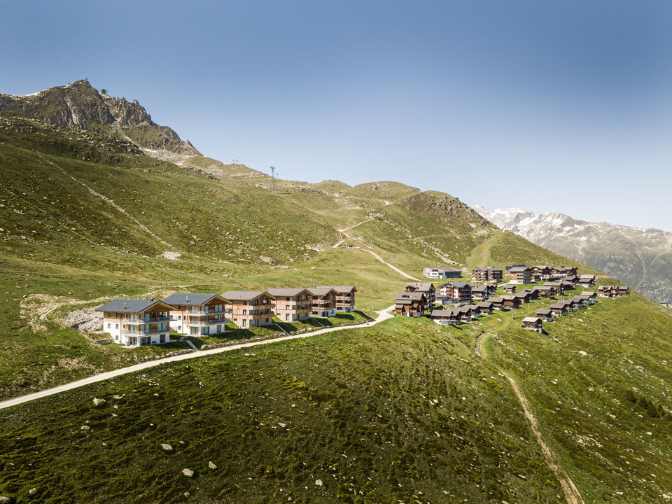
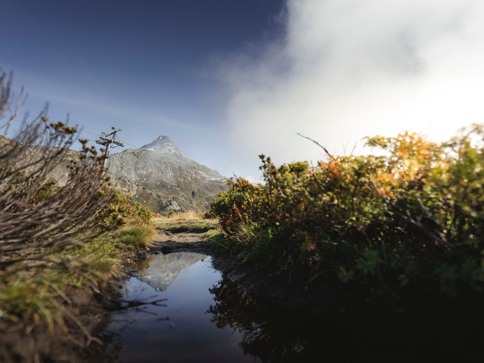
Take the glacier railway up to the Moosfluh viewpoint, the starting point of the hike. Follow the path to Biel heading east. From there, you reach Hohbalm via a short climb. Along the north-facing slopes of Bettmerhorn and Eggishorn, you now hike without major altitude changes to Märjelensee. The view of the Great Aletsch Glacier is your constant companion on this stage. The landscape shaped by eternal ice is also clearly visible here. Upon arrival at Märjelensee, the trail moves away from the glacier side: through the illuminated Tälligrattunnel (Obers Tälli) you reach the south side again, where you cross the sun plateau heading west: from Fiescheralp, hike over the Herrenweg, past Bettmersee, to Bettmeralp. Stay on the Herrenweg and now hike via Gopplerlücke to the mountain station of Riederalp West. Note: the hiking route is approximately 24 km long. Good stamina is required!
- difficult
- 23,90 km
- 6 hours 15 minutes
- 988 m
- 971 m
- start: Moosfluh, mountain station cable car
- destination: Riederalp West
Best Season
Good to know
- Stop at an Inn
Moosfluh, mountain station cable car
Riederalp West
Moosfluh – Biel – Hohbalm – Roti Chumme – Märjelensee – Tälligrattunnel – Fiescheralp – Herrenweg - Bettmeralp – Gopplerlücke - Riederalp
Use of the hiking trails and information on this website is at your own risk. Local conditions may cause changes to the route. The Aletsch Arena AG does not accept any responsibility for the accuracy and completeness of the information on this website.
- Carry a map with you. Download the complete description of the hiking trail with a large-scale map by clicking "Print" at the top right of the page.
- Use only marked hiking trails and follow all signs and instructions - for your own safety, to protect grazing animals, and out of respect for wildlife.
- Close gates after passing through.
- Be considerate towards other trail users, plants, and animals.
We recommend:
- Good footwear
- Weather-dependent clothing: always carry a waterproof vest
- Headwear
- Sun protection
- Water bottle
- Picnic
- Camera
- Binoculars (optional)
- Hiking poles (optional)
- Printout of the hiking trail (click "Print" to download)
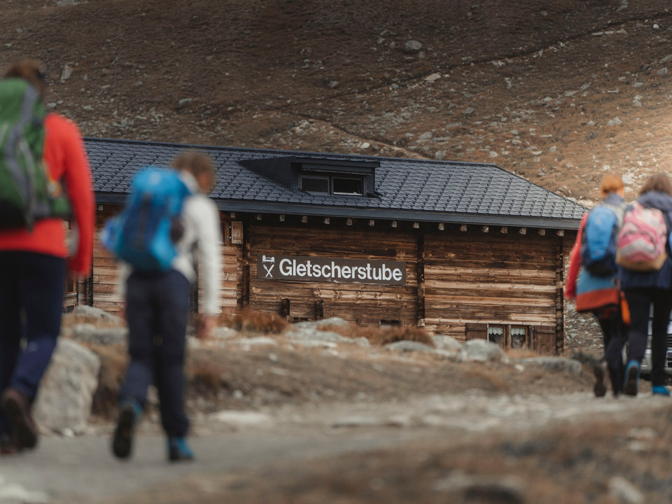
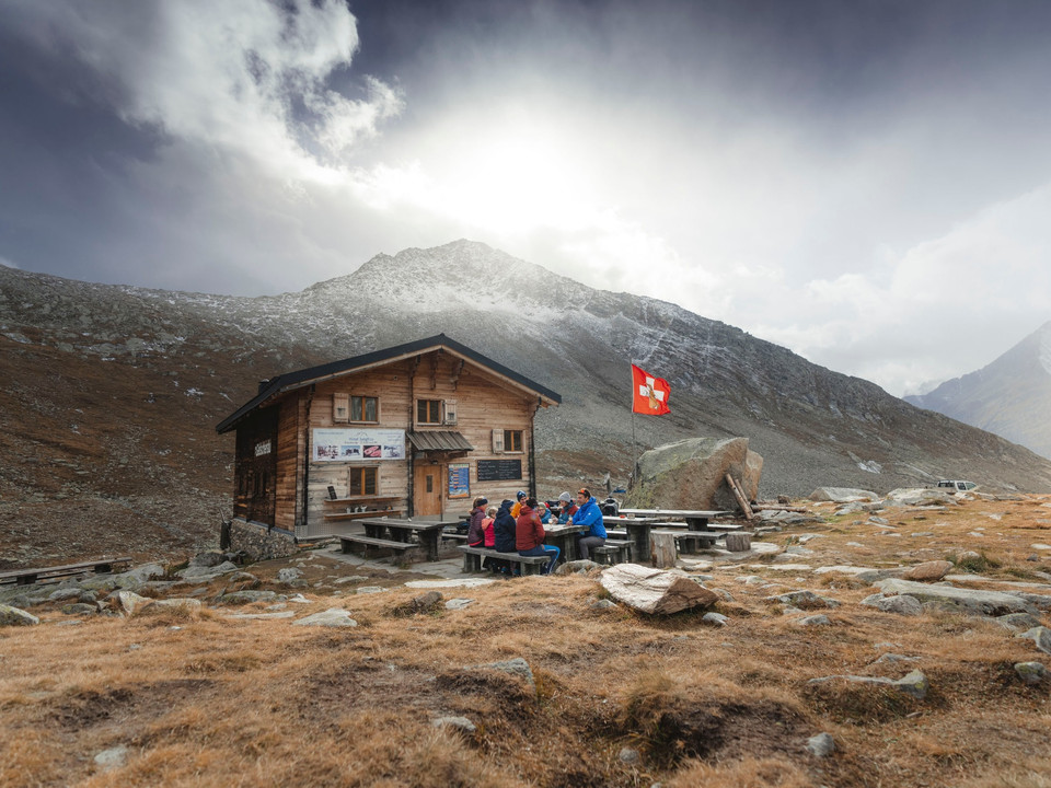
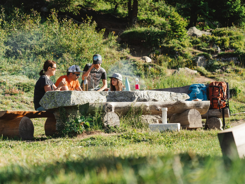
Plan a break at the Glacier Stube! Here you can wonderfully strengthen yourself for the still long return journey over the sun plateau.
Along Cantonal road 19 to the Mörel-Filet exit, then to the signposted parking options. Take the Riederalp cable car (Aletsch Bahnen AG) up to Riederalp.
- Limited number of paid parking spaces at Mörel-Filet station. Further parking options are signposted.
- Large, paid parking garages at the entrance to Mörel-Filet and in the village center.
By train from Brig or Oberwald to Mörel-Filet, then continue on foot to the Riederalp cable car (Aletsch Bahnen AG). Take it up to Riederalp.
At the mountain railways and info centers of the Aletsch Arena you will receive a free panoramic map.
National maps SwissTopo: 1:25’000: 1269 Aletsch Glacier
Aletsch Arena AG
Furkastrasse 39
CH-3983 Mörel-Filet
+41 27 928 58 58
info@aletscharena.ch
www.aletscharena.ch
