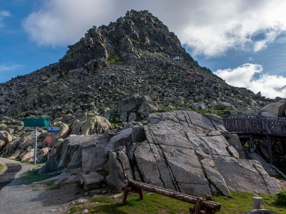
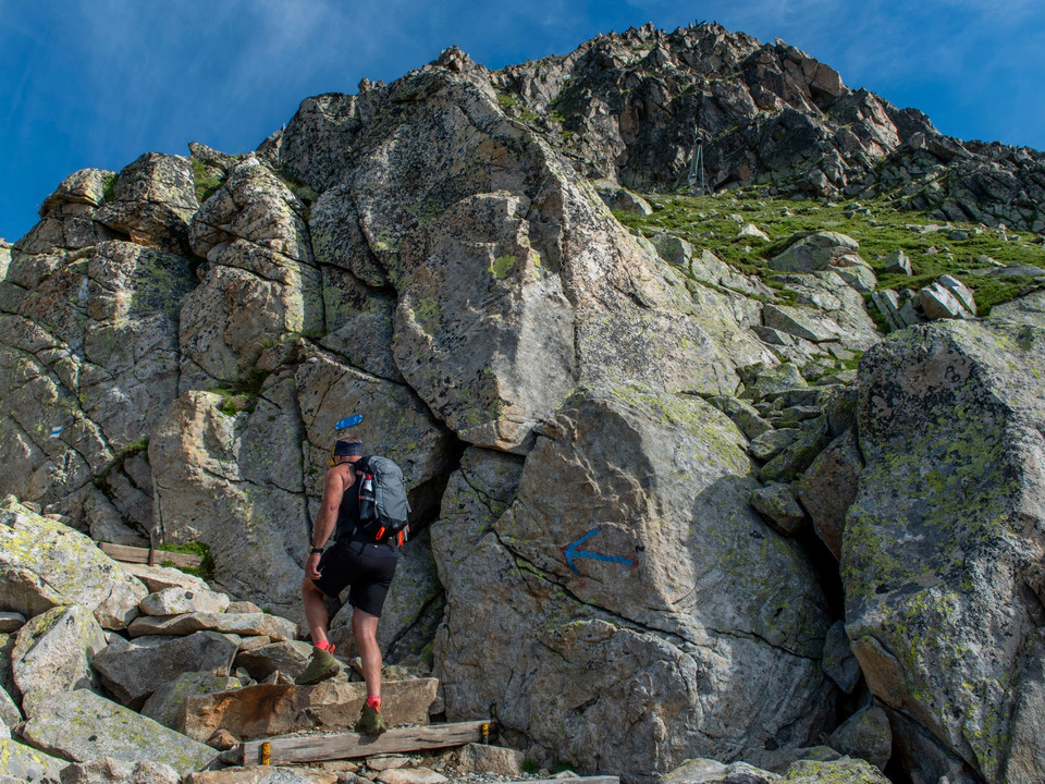
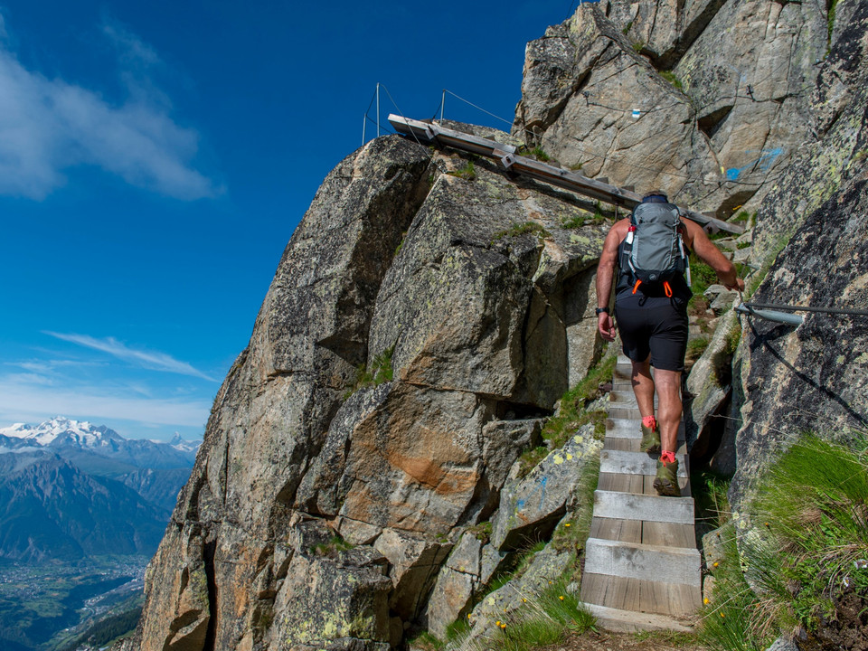
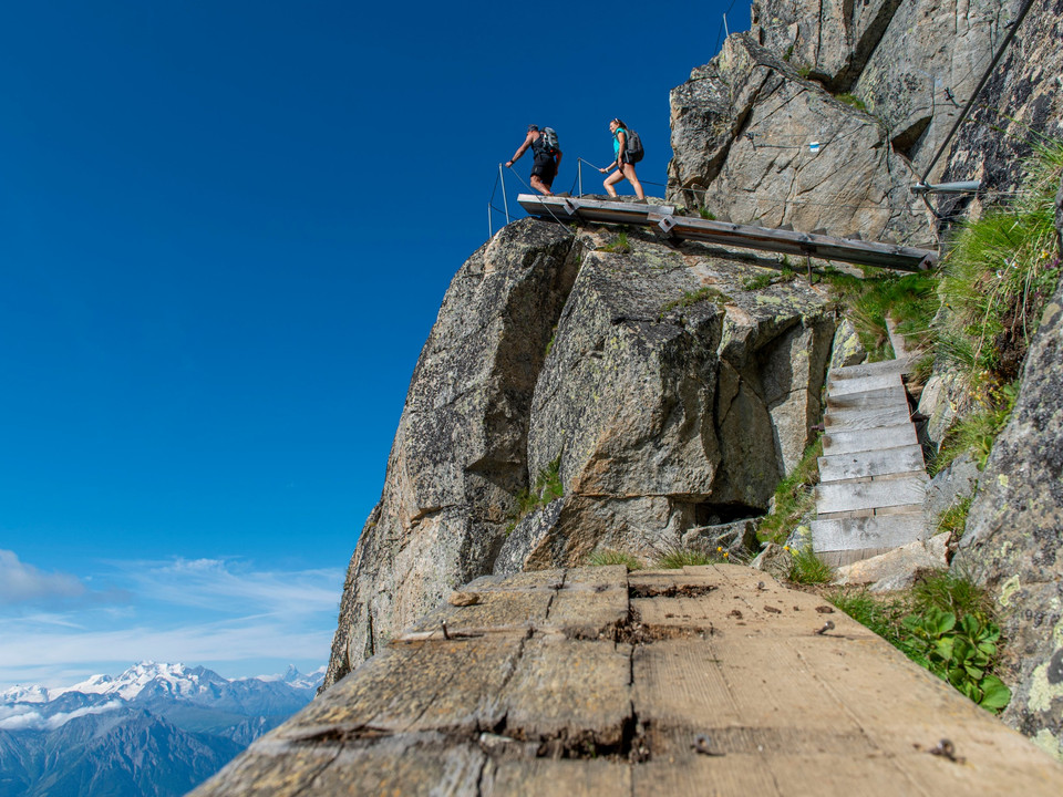
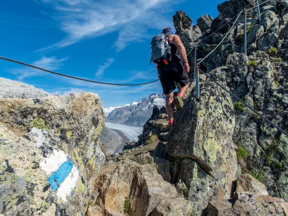
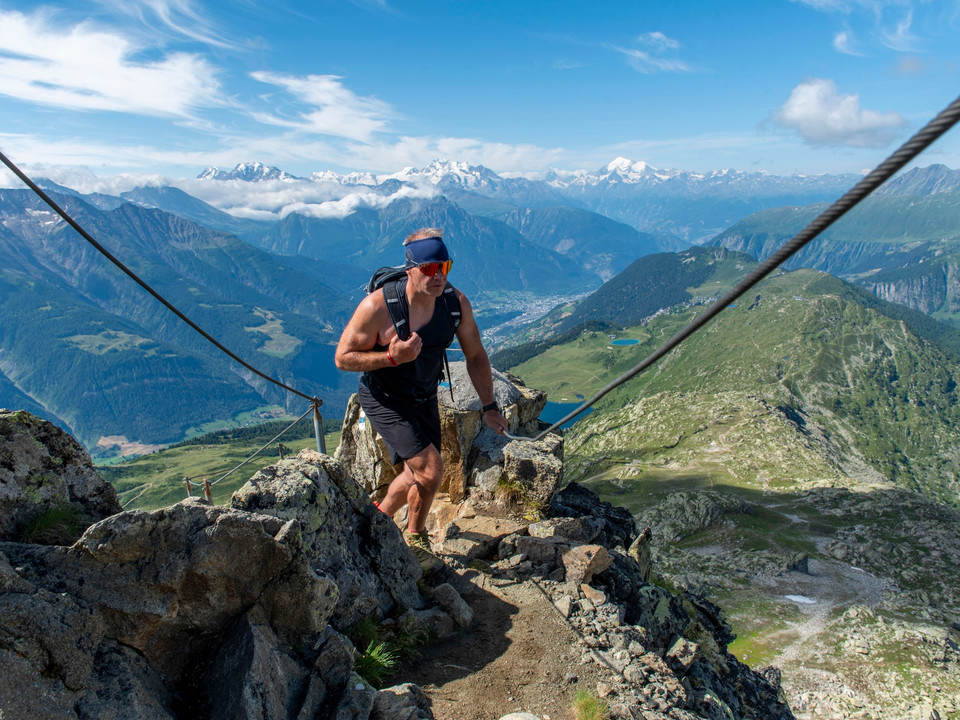
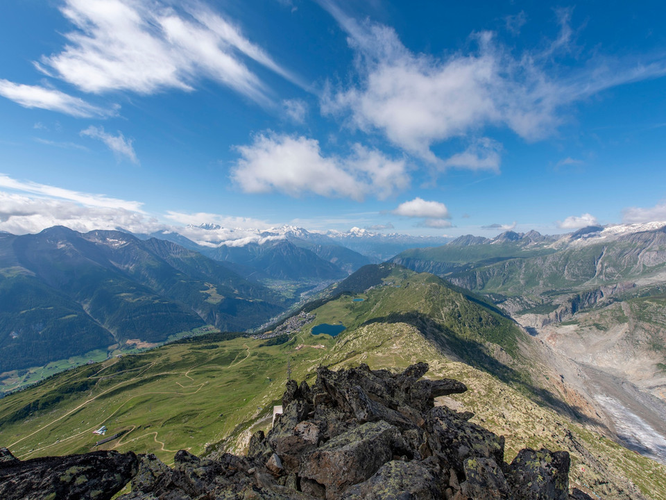
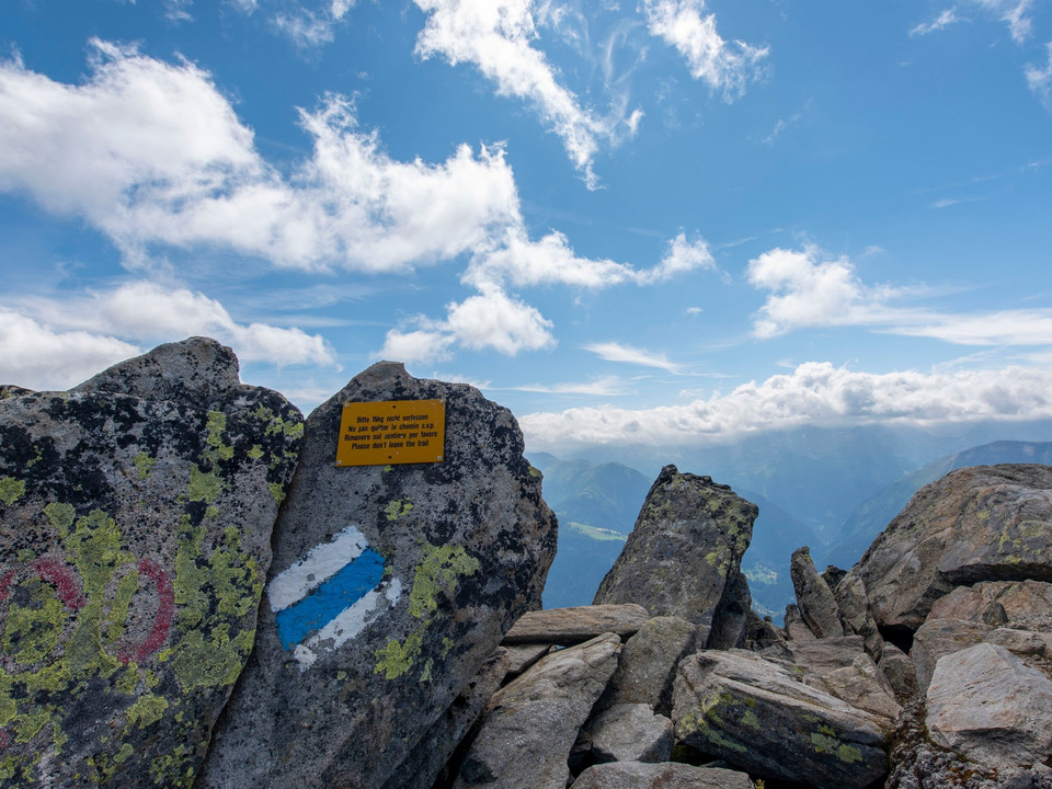
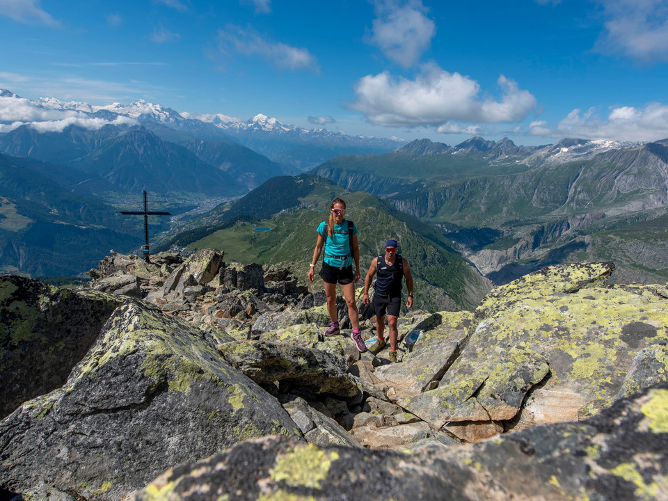
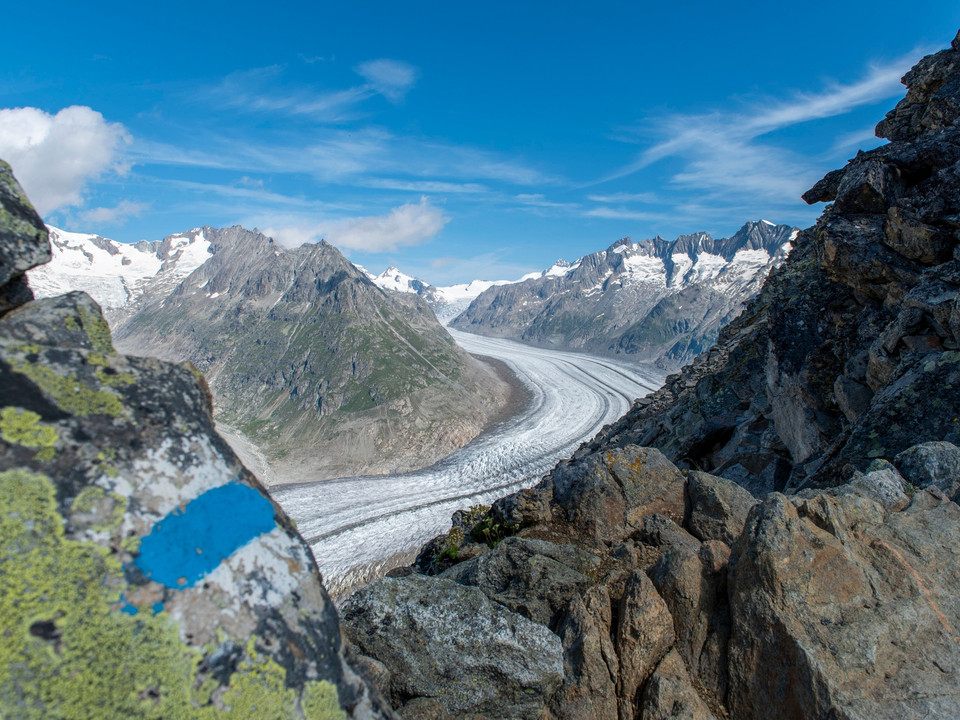
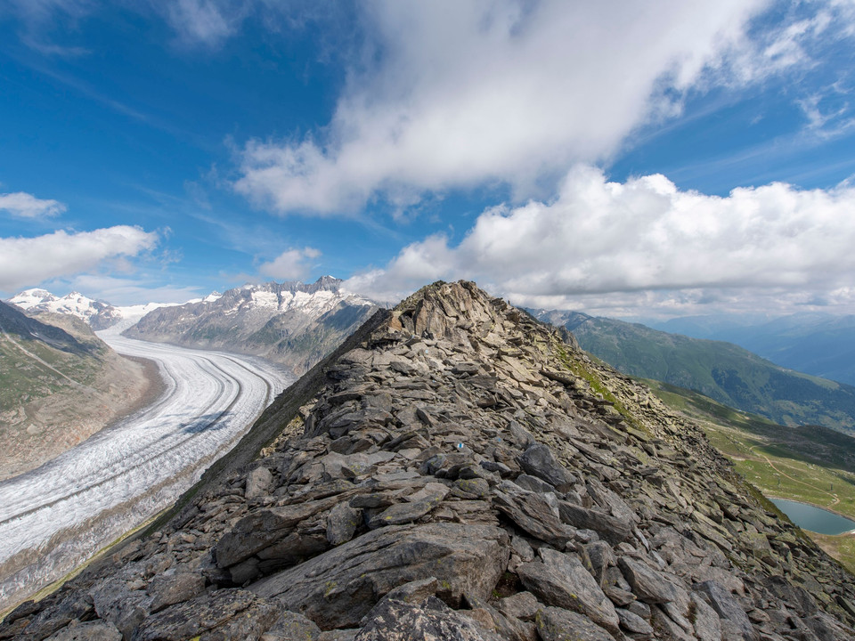
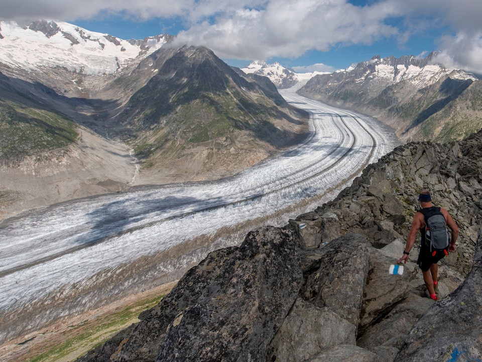
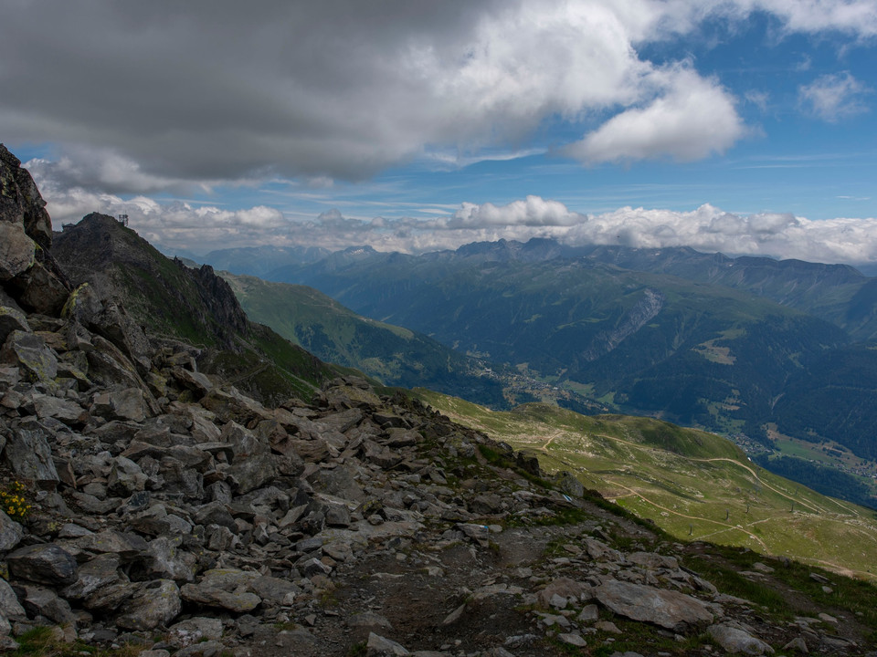
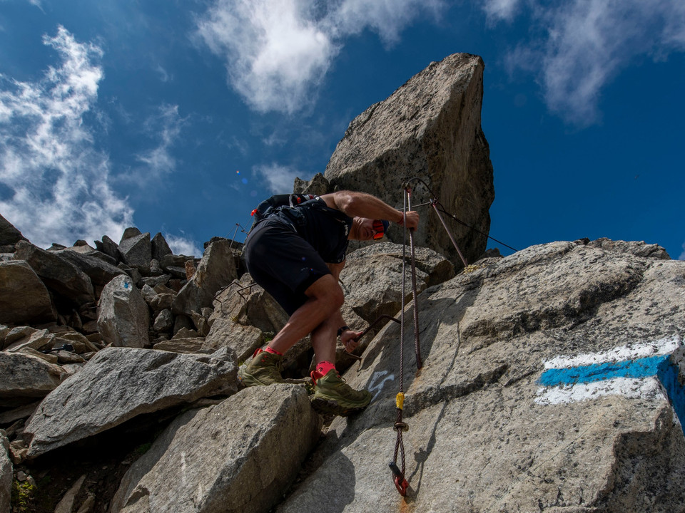
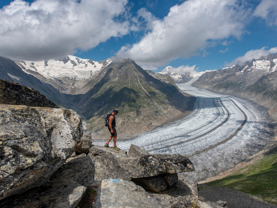
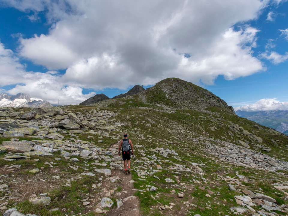
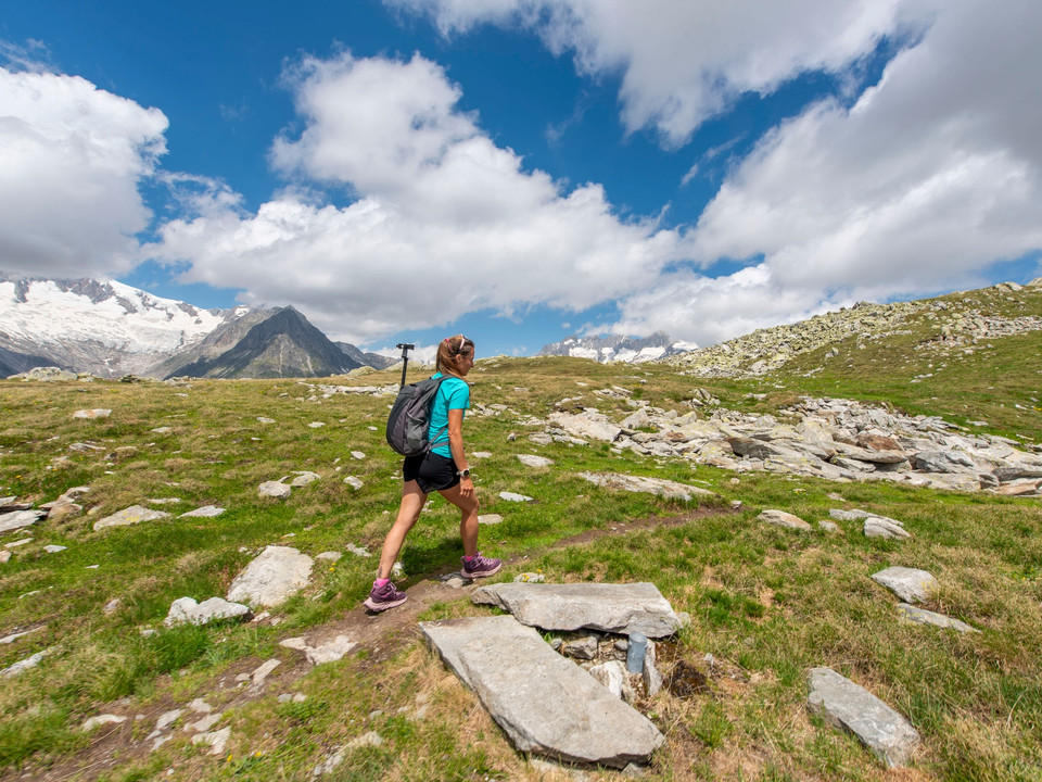
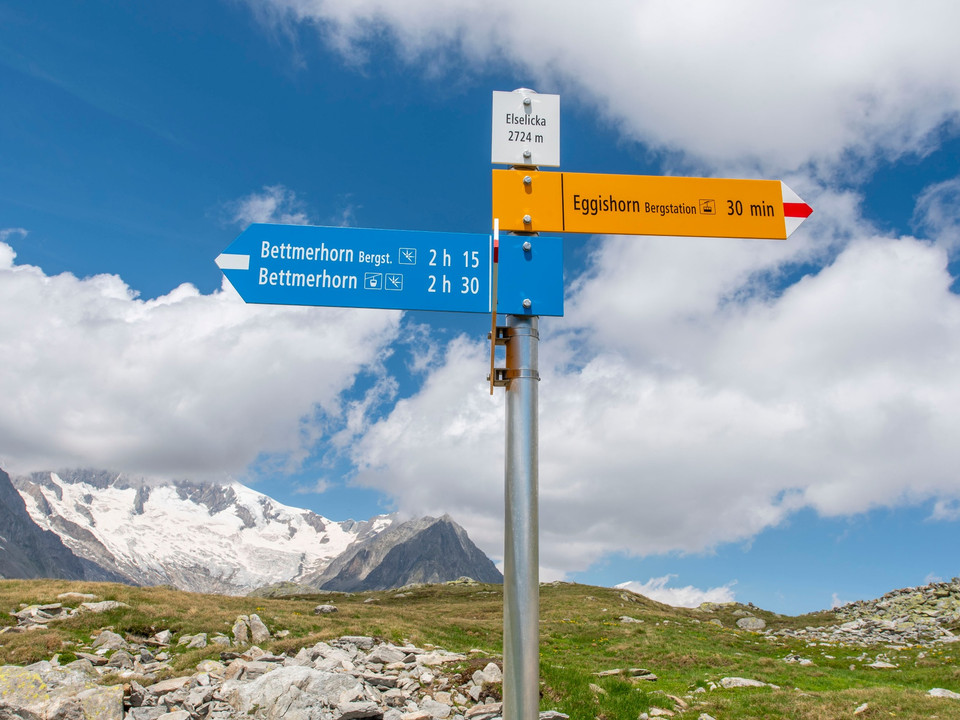
Starting point is the mountain station of the Bettmerhorn cable car. From there, you reach the summit of Bettmerhorn (2,647 m) via a footbridge in about 30 minutes. Then follow the partly exposed but well-secured ridge trail for about 1.5 km to a steep section. Over this you descend to the Elselicka. Fixed ropes are provided here for safety. The ridge route is considered an alpine route and is therefore only suitable for sure-footed and fearless hikers! You should not leave the white-blue marked path on this section! From the Elselicka, you hike up a well-developed trail to the mountain station of the Eggishorn aerial cableway (2,869 m), the destination of the UNESCO ridge trail.
- medium
- 3,04 km
- 3 hours
- 373 m
- 149 m
- start: Bettmerhorn, cable car mountain station
- destination: Eggishorn, aerial cableway mountain station
Best Season
Good to know
- Summit
- Cultural Interesting
- Stop at an Inn
Bettmerhorn, cable car mountain station
Eggishorn, aerial cableway mountain station
Bettmerhorn cable car mountain station - Bettmerhorn summit - Elselicka - Eggishorn aerial cableway mountain station
People undertaking this activity based on the information on this website do so at their own risk. On-site conditions can lead to route changes and increased danger from natural hazards. We assume no responsibility for the accuracy of the information on this website or for the conditions under which this activity is carried out. In case of doubt, please contact the destination in advance.
- Carry a map with you. Download the complete description of the hiking trail with a large-scale map by clicking "Print" at the top right of the page.
- Use only marked hiking trails and observe all signs and instructions - for your own safety, to protect grazing animals, and out of respect for wildlife.
- Close gates after passing through.
- Be considerate of other trail users, plants, and animals.
- Carry additional sun protection. UV rays at high altitudes can be very strong, even in cloudy weather.
- Plan your hike carefully: consider the required fitness level of all participants, weather forecasts, and seasonal dependencies.
- Weather conditions in the mountains can change very quickly and without warning. Appropriate clothing and sufficient provisions (food and drink) are very important. In unstable weather, it is better to turn back early.
- Inform your family about your hiking route. If possible, avoid hiking alone.
We recommend:
- Good footwear
- Weather-dependent clothing: always carry a waterproof vest
- Headwear
- Sunscreen
- Water bottle
- Picnic
- Camera
- Binoculars (optional)
- Hiking poles (optional)
- Printout of the hiking trail (click "Print" to download)
Get the Aletsch Explorer Pass! With the combined mountain railway and train ticket, you are unrestrictedly mobile in the Aletsch Arena!
Via cantonal road 19 to the Bettmeralp valley station exit. Take the Bettmeralp aerial cableway (Aletsch Bahnen AG) up to Bettmeralp.
Large, paid parking lot/parking garage at the valley station of the Bettmeralp aerial cableway (Aletsch Bahnen AG).
By train from Brig or Oberwald to Bettmeralp valley station. Take the Bettmeralp aerial cableway (Aletsch Bahnen AG) up to Bettmeralp.
At the cable cars and info centers of the Aletsch Arena you will receive a free panoramic map.
SwissTopo national maps: 1:25,000: 1269 Aletsch Glacier
Aletsch Arena AG
Furkastrasse 39
CH-3983 Mörel-Filet
+41 27 928 58 58
info@aletscharena.ch
www.aletscharena.ch
